

Process Information
Method
Application
Eligibility
All students
Undergraduate students
Graduate students
Eligibility Criteria
Open to both undergraduate and graduate students.
Deadline
2024-04-08
Application Requirements
Poster
Story map
Transcripts
Resume
Application Details
o apply, the student needs to submit documents demonstrating the candidate’s eligibility and use of Esri technology:
- An ArcGIS Story Map OR a poster 24 in (w) by 36 in (h) demonstrating a special project, lab work, or research using ArcGIS software
- An (unofficial) transcript (minimum B+ average)
- Your resume/CV
For More Information
Contact Information
Primary Contact
René Duplain
Position
Research Librarian (GIS)
Additional Contacts
Data Services Team, gsg@uottawa.ca
2024 Candidate Status
Confirmé
Street Address
78 University Private
Postal Code
K1N 6N5
Website
Description
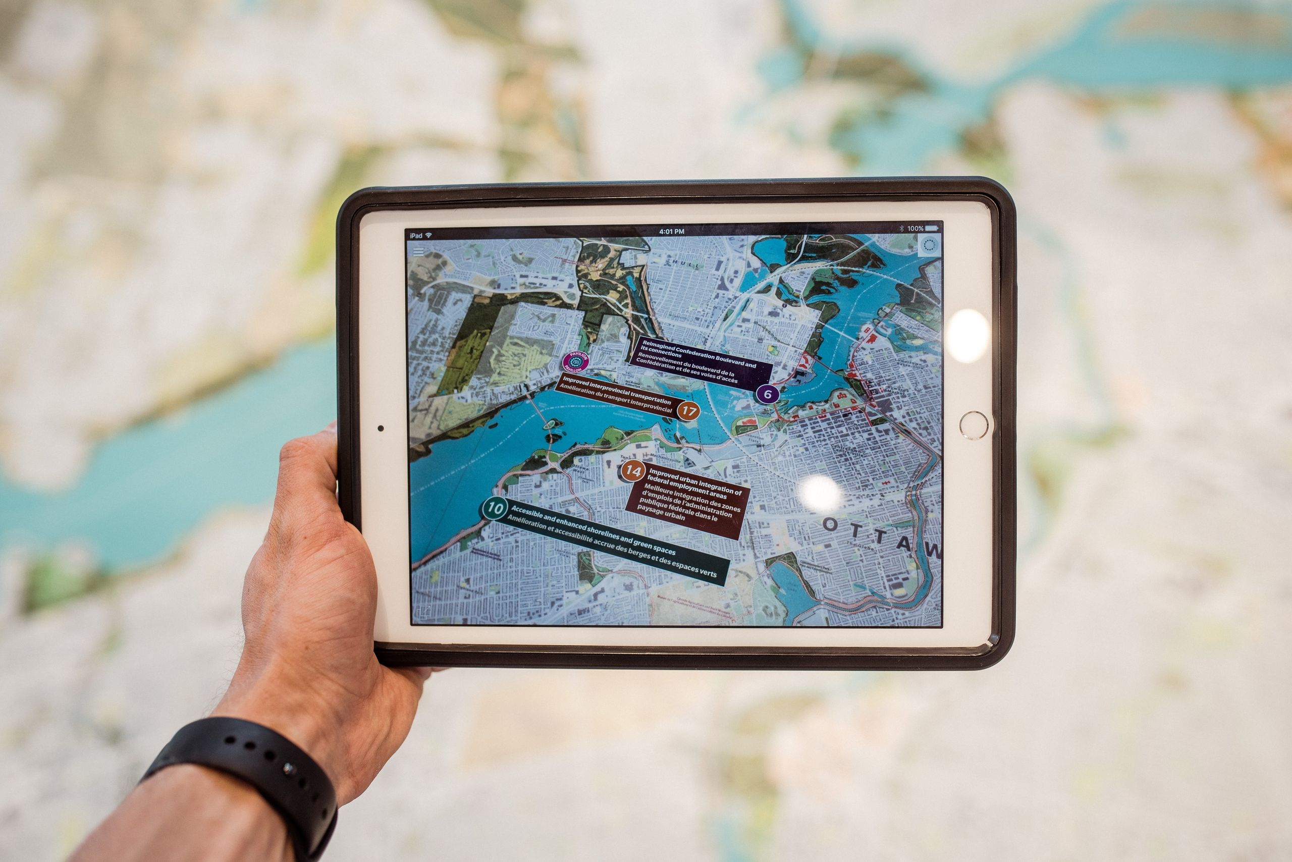
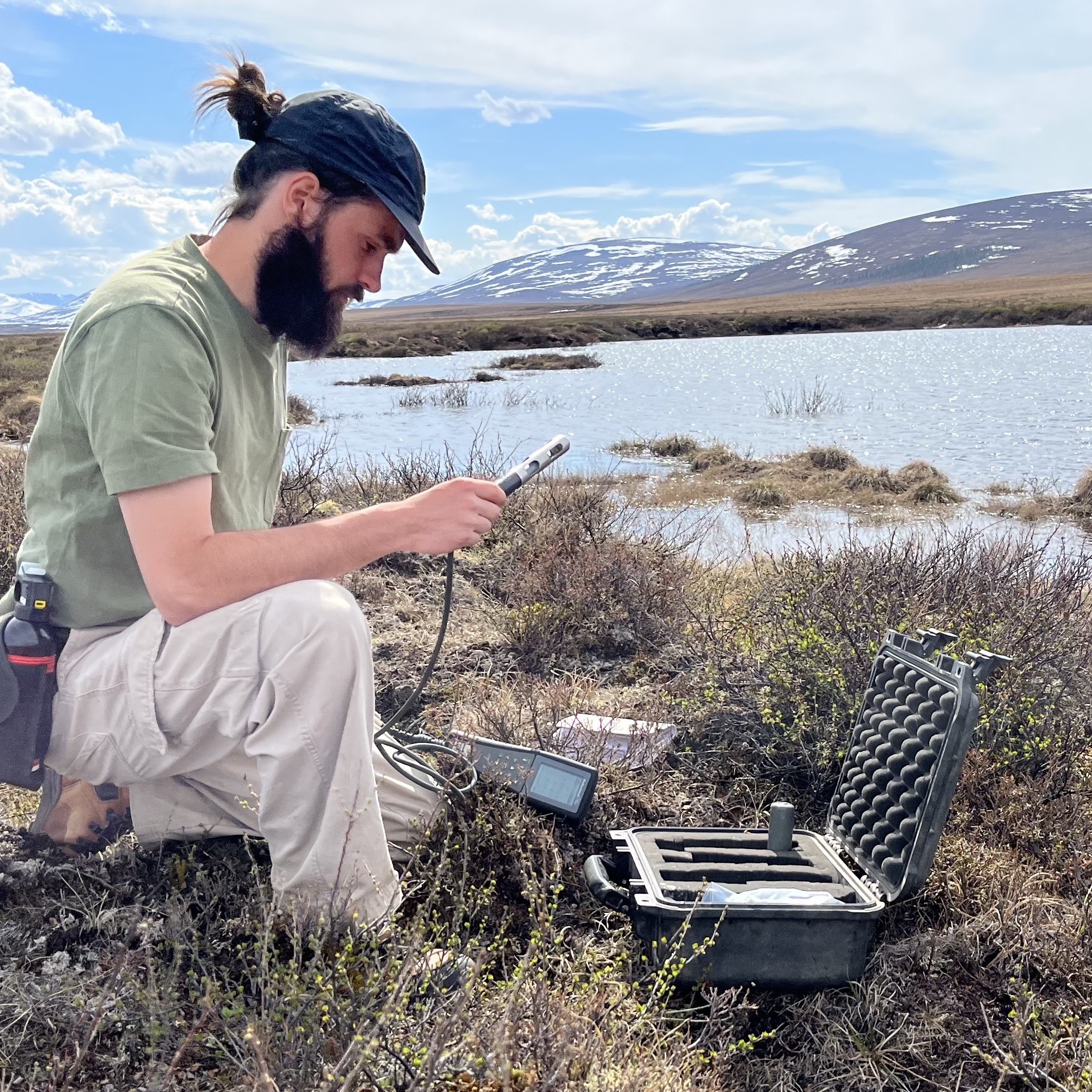
The Laboratory for Applied Geomatics and GIS Science/Laboratoire pour la géomatique appliquée et la science des SIG within the bilingual Department of Geography at the University of Ottawa supports the development of geomatics applications within the physical, social and environmental and health sciences.
GIS Offerings
Minor in Geomatics and Spatial Analysis

Institutions that are participants in the Esri Canada GIS Scholarship program.


If you wish to contact this person and they have not provided contact information, you may send your message to scholars@esri.ca. The Scholarship Coordinator will review your message and forward it to the intended recipient if deemed appropriate.