

Process Information
Eligibility Criteria
Students from any faculty or program may apply, but must have evidence of GIS coursework and demonstrate proficiency. GIS research is required, and for this reason, GEOG 3553 is encouraged as it provides an opportunity for students to conduct individual GIS research projects.
Application Requirements
Personal statement
Transcripts
Resume
Abstract
Application Details
Application form and: abstract of project or GIS work that can be made into a poster for Esri Canada if the student is the successful candidate (100-200 words); 1 page describing their previous GIS experience, plans for future GIS use or study, and how they would use the scholarship; transcripts; CV.
Contact Information
Primary Contact
Lynn Moorman
2024 Candidate Status
Confirmed
Street Address
4825 Mount Royal Gate SW
Postal Code
T3E 6K6
GIS Offerings
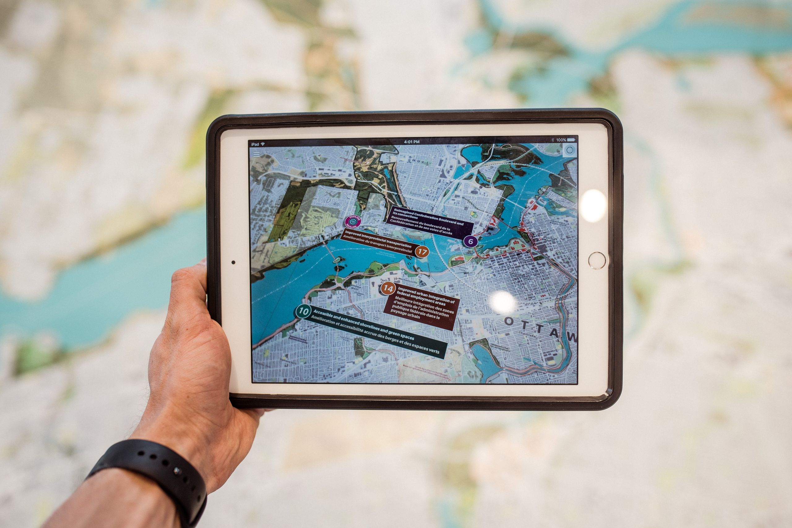
Mount Royal University's GIS courses are run through the Department of Environmental and Earth Science. GIS can be taken by any credit students. The GIS stream of courses provides students with basic background in mapping, cartography, and familiarity with Esri GIS products. Higher level courses encourage students to branch out in their GIS application experience as they tackle real problems through a Community Service Learning component. Students work with community partners and conduct needs analyses and GIS research to address local issues.

Institutions that are participants in the Esri Canada GIS Scholarship program.


If you wish to contact this person and they have not provided contact information, you may send your message to scholars@esri.ca. The Scholarship Coordinator will review your message and forward it to the intended recipient if deemed appropriate.